© 2010 Naturesfury.net

What is a Landslide?
The term landslide includes a wide range of ground movement, such as rock falls, deep failure of slopes, and shallow debris flows. Although gravity acting on an over-steepened slope is the primary reason for a landslide, there are other contributing factors:
- Erosion by rivers, glaciers, or ocean waves create oversteepened slopes
- Rock and soil slopes are weakened through saturation by snowmelt or heavy rains
- Earthquakes create stresses that make weak slopes fail
- Earthquakes of magnitude 4.0 and greater have been known to trigger landslides
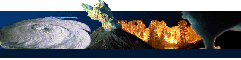
- Volcanic eruptions produce loose ash deposits, heavy rain, and debris flows
- Excess weight from accumulation of rain or snow, stockpiling of rock or ore, from waste piles, or from man-made structures may stress weak slopes to failure and other structures
Slope material that become saturated with water may develop a debris flow or mud flow. The resulting slurry of rock and mud may pick up trees, houses, and cars, thus blocking bridges and tributaries causing flooding along its path.
Where do Landslides Occur?
Landslides occur in every state and U.S. territory. The Appalachian Mountains, the Rocky Mountains and the Pacific Coastal Ranges and some parts of Alaska and Hawaii have severe landslide problems. Any area composed of very weak or fractured materials resting on a steep slope can and will likely experience landslides.
Although the physical cause of many landslides cannot be removed, geologic investigations, good engineering practices, and effective enforcement of land-use management regulations can reduce landslide hazards.
USGS scientists continue to produce landslide susceptibility maps for many areas in the United States. In every state, USGS scientists monitor streamflow, noting changes in sediment load carried by rivers and streams that may result from landslides. Hydrologists with expertise in debris and mud flows are studying these hazards in volcanic regions.
Landslide Warning Signs
- Springs, seeps, or saturated ground in areas that have not typically been wet before.
- New cracks or unusual bulges in the ground, street pavements or sidewalks.
- Soil moving away from foundations.
- Ancillary structures such as decks and patios tilting and/or moving relative to the main house.
- Tilting or cracking of concrete floors and foundations.
- Broken water lines and other underground utilities.
- Leaning telephone poles, trees, retaining walls or fences.
- Offset fence lines.
- Sunken or down-dropped road beds.
- Rapid increase in creek water levels, possibly accompanied by increased turbidity (soil content).
- Sudden decrease in creek water levels though rain is still falling or just recently stopped.
- Sticking doors and windows, and visible open spaces indicating jambs and frames out of plumb.
- A faint rumbling sound that increases in volume is noticeable as the landslide nears.
- Unusual sounds, such as trees cracking or boulders knocking together, might indicate moving debris.
Areas that are generally prone to landslide hazards
- On existing old landslides.
- On or at the base of slopes.
- In or at the base of minor drainage hollows.
- At the base or top of an old fill slope.
- At the base or top of a steep cut slope.
- Developed hillsides where leach field septic systems are used.
Areas that are typically considered safe from landslides
- On hard, non-jointed bedrock that has not moved in the past.
- On relatively flat-lying areas away from sudden changes in slope angle.
- At the top or along the nose of ridges, set back from the tops of slopes.
Why Study Landslides?
Landslides are a serious geologic hazard common to almost every State in the United States. It is estimated that in the United States, they cause in excess of $1 billion in damages and from about 25 to 50 deaths each year. Globally, landslides cause hundreds of billions of dollars in damages and hundreds of thousands of deaths and injuries each year.
The National Landslide Information Center, developed by the U.S. Geological Survey, is a multifunctional enterprise dedicated to collection and distribution of all forms of information related to landslides. It is designed to serve landslide researchers, geotechnical practitioners engaged in landslide stabilization, and all other people and entities concerned in any way with landslide hazards analysis and mitigation.